


Raster Maps Of Queensland
In ozf4 format.
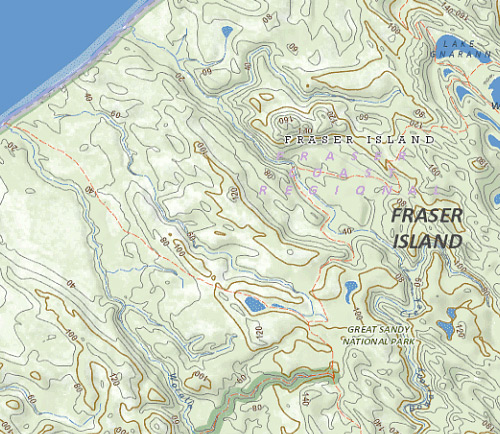
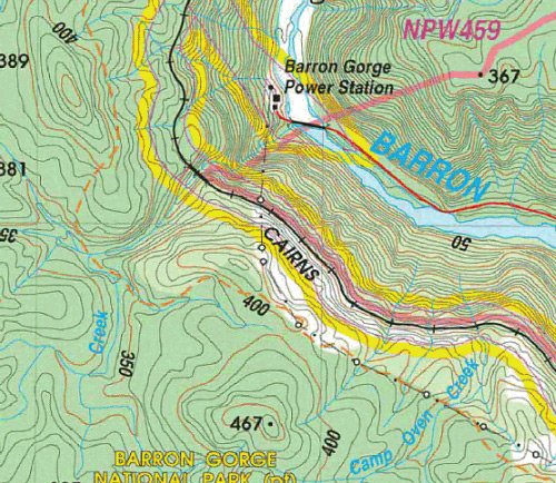
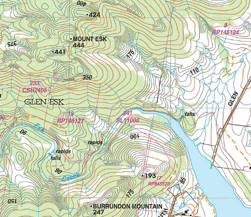
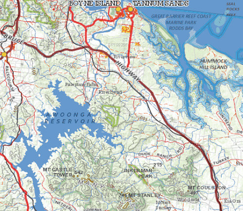
Includes 1:25k Topographic sheet maps mosaicked into 5 regions (South East Queensland, Cairns, Mackay, and Tully) , and 1:50k, 250k and 500k extracted from QTOPO and mosaicked into state wide regions.
Sourced from Department of Natural Resources and Mines © Queensland Government.
In OZF4 format suitable for Hema Navigator and other devices that have OziExplorer installed. Ask us about other formats.
This dataset is 6.5GB and is typically supplied on a 8GB MicroSD card (with full size SD adapter).
These maps are not compatible with the Garmin* and Magellan range of GPS units.
*The Garmin Monterra can run these maps with an appropriate third party app from the Play store.
Loading compatible items...