- Includes detailed map coverage of Germany, Austria, Switzerland, Liechtenstein, Northern Italy and Eastern France
- ONLY compatible with NT capable Garmin GPS (unsure? contact us)
- Includes motorways, national and regional thoroughfares and local roads
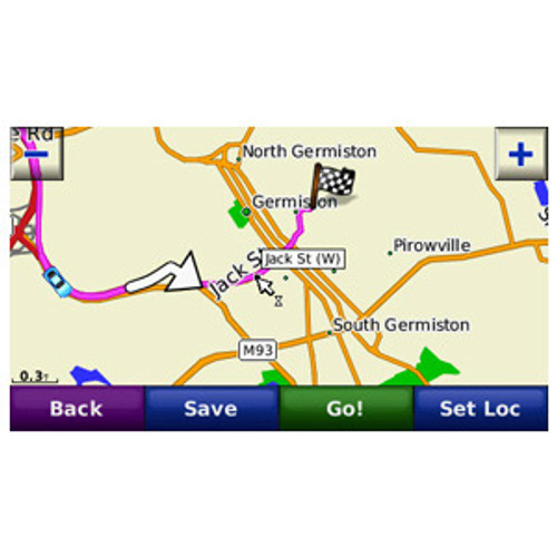
- Gives turn-by-turn directions on your compatible Garmin device
Please Note:
This is the NT Version ONLY! Please check with us if you are unsure if your Garmin unit is compatible.
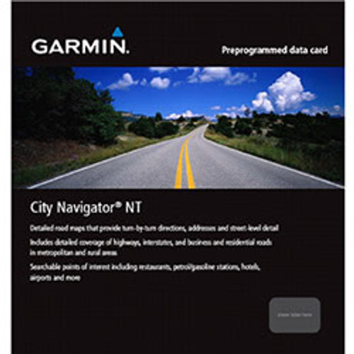
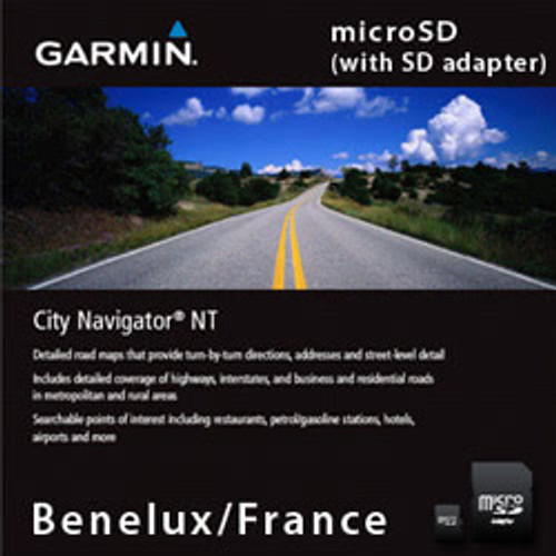
This map is provided on microSD card (with SD sleve) so just plug it into your compatible Garmin GPS and you're ready to navigate the European Alps!
Reduced price map updates are not available for these cards. If you want to update the maps, you must purchase a new card that includes the latest map data.
Includes detailed map coverage of Germany, Austria, Switzerland, Liechtenstein, Northern Italy and Eastern France.
Includes ATM/cash stations throughout the region. # Enhances pronunciation data for compatible devices that speak street names (example: "Turn right on Main Street.").
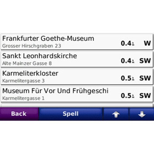
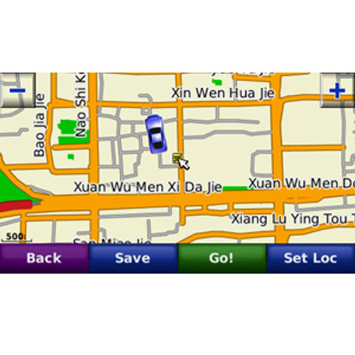
City Navigator brings you the most detailed street maps available so you can navigate with exact, turn-by-turn directions to any address. You can also route to Points Of Interest such as restaurants, gas stations, lodging, attractions and more. Also includes detailed information such as turn restrictions, speed categories, roundabout guidance, and other navigation features.
Please contact us to see if your Garmin unit is NT compatible.
Detailed Coverage
- Germany
- Austria
- Switzerland
- Liechtenstein
- Northern Italy
- Eastern France
Specifications are provided as a guide only, and are subject to change without notice.


