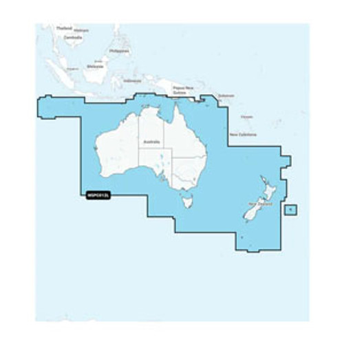
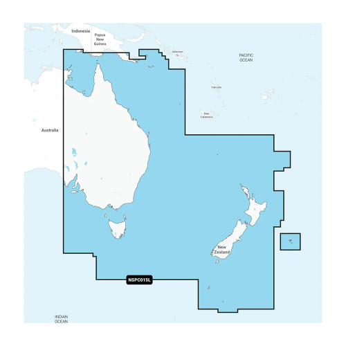
- Latest Maps - Includes full coverage for Australia & New Zealand
- Nearly 1.3 million kilometers of road coverage, including rural roads
- ONLY compatible with NT capable Garmin GPS (unsure? contact us)
- Gives turn-by-turn directions on your compatible Garmin device
Please Note:
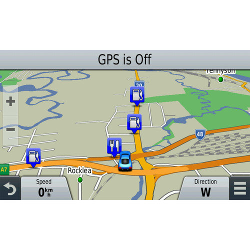
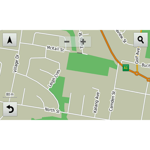
City Navigator Australia & New Zealand provides detailed road maps and points of interest for your Garmin device, so you can navigate turn by turn to the destination of your choice.
This is the NT Version ONLY! Please check with us if you are unsure if your Garmin unit is compatible.
This map is provided on microSD card (with SD sleve) so just plug it into your compatible Garmin GPS and you're ready to navigate Australia and New Zealand!
Reduced price map updates are not available for these cards. If you want to update the maps, you must purchase a new card that includes the latest map data.
Coverage includes all of Australia & New Zealand, including the Lane Cove Tunnel and the M7 Highway in Sydney, the East Link freeway and the Pakenham bypass in Melbourne, the Tugun bypass at Tweed Heads, and the Albury/Wodonga bypass at Alburys.
City Navigator brings you the most detailed street maps available so you can navigate with exact, turn-by-turn directions to any address. You can also route to Points Of Interest such as restaurants, petrol stations, lodging, attractions and more. Also includes detailed information such as turn restrictions, speed categories, roundabout guidance and other navigation features.
The latest version includes improved address range support, speed limit details for most major metropolitan areas in Australia, additional speed camera locations and additional Junction Views and 3D landmarks on your compatible unit.
Please contact us to see if your Garmin unit is NT compatible.
You can also check the Garmin website for compatibility.
Detailed Coverage
Includes detailed maps for all of Australia & New Zealand.Specifications are provided as a guide only, and are subject to change without notice.


